


- Cal Fire released its first updated fire hazard maps for Southern California in 14 years, projecting wildfire risk over the next 30–50 years.
- High-risk fire zones have grown to 1.4M acres from 800,000 acres, spanning eight SoCal counties including Los Angeles and San Diego.
- The maps inform stricter building codes and defensible space rules but are not expected to directly affect insurance rates.
First Update in Over a Decade
For the first time in 14 years, the California Department of Forestry and Fire Protection (Cal Fire) has updated its fire hazard severity maps for Southern California, as reported by The Real Deal.
These new maps project wildfire risk over the next 30 to 50 years and come amid growing concerns about wildfire frequency and intensity in the region.
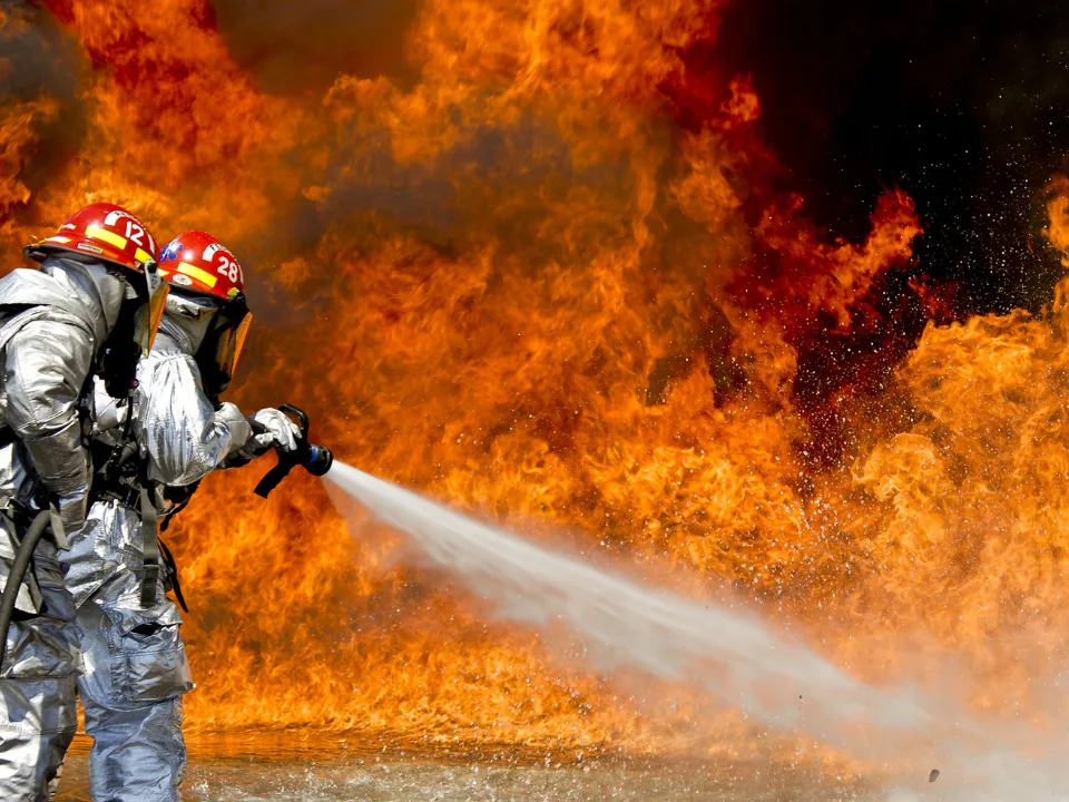
The timing is notable, following recent January fires that destroyed over 12,000 homes in areas like Pacific Palisades and Altadena.
Where the Risk Has Grown
The updated maps expand the designated high-risk zones from 800,000 acres to 1.4 million acres. Affected counties include:
- Los Angeles
- San Diego
- Orange
- Riverside
- San Bernardino
- Imperial
- Mono
- Inyo
Cal Fire now categorizes areas into three risk levels: Moderate, High, and Very High, using factors such as vegetation, slope, fire history, and local climate conditions.
Impact on Homeowners and Development
The maps will guide local land-use decisions and enforce stronger fire safety standards for new construction. Key implications include:
- Stricter Building Codes: Homes in high and very-high risk zones must incorporate fire-resistant materials—like non-combustible roofing, ember-resistant vents, and double-pane windows.
- Defensible Space Enforcement: Property owners must clear brush within 100 feet of structures. Non-compliance may result in fines of up to $500 in some counties.
- Seller Disclosure: Sellers must inform buyers if their property falls in a high-risk area and confirm compliance with fire safety regulations.
Looking Ahead: The “Zone 0” Proposal
California officials are working on a new rule to establish “Zone 0”, a five-foot buffer around structures where flammable materials, like wood fences or bark mulch, would be banned.
What About Insurance?
Despite the expanded hazard zones, homeowners shouldn’t expect immediate changes to insurance rates. Most insurers rely on their own risk models rather than Cal Fire’s public maps when pricing policies.